 |
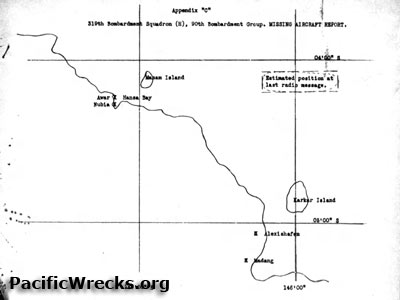
Map showing the last known position of B-24D 42-72804
The area inside a rectangle indicates "Estimated position at last radio message." The black line indicates the north coast of New Guinea with Madang, Alexishafen, Awar, Nubia, Hansa Bay. Karkar Island and Manam Island.
Credit: MACR 2084 page 2 Date: January 16, 1944
Map
High Resolution Version
Acquire This Image |
Contribute Information
Do you have photos or additional information?
Previous Page
|
|