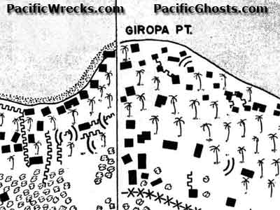
Map of Giropa Point (Jiropa) on the north coast of New Guinea
To the west is Buna Station (Buna
Mission) and to the east is Simemi Creek. Japanese defenses including bunkers (black squares) trenches ("U" lines) and breastworks (line with X) are indicated. Credit: U.S. Army Date: December 1942
Map Enlargement