Missing In Action (MIA)
Prisoners Of War (POW)
Unexploded Ordnance (UXO)
Chronology
Locations
Aircraft
Ships
Submit Info
How You Can Help
Donate
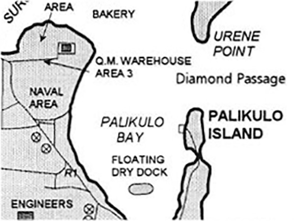
Map of
Palikulo Island
off he eastern edge of
Espiritu Santo
Borders Palikulo Bay, Floating Dry Dock, Diamond Passage, Urene Point on the southern edge s
Aesi Island
. To the south is
Lunganville (Santo)
.
Credit:
The Lady and the President
Date: 1997
Map
Enlargement
High Resolution Version
Acquire This Image
|
Contribute Information
Do you have photos or additional information?
Previous Page
Discussion Forum
Daily Updates
Reviews
Museums
Interviews & Oral Histories
Pacific Wrecks Inc.
All rights reserved.