|
|
|
|
| Missing In Action (MIA) | Prisoners Of War (POW) | Unexploded Ordnance (UXO) |
| Chronology | Locations | Aircraft | Ships | Submit Info | How You Can Help | Donate |
|
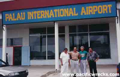 Jeff Konn 1990 |
Location Construction Today During May 2006, renamed Roman Tmetuchl International Airport in honor of local local politician and businessman Roman Tmetuch. Also still known by the prior airport names. Contribute
Information Last Updated
|
Map March 1944
|
| Discussion Forum | Daily Updates | Reviews | Museums | Interviews & Oral Histories |
|