 |
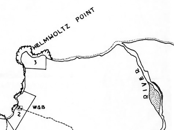
Map of Wab and Helmholtz Point on the north coast of New Guinea
The rectangles with no. 2 and no. 3 are Fire Support Target Areas for Operation Michaelmas the amphibious landing at Saidor. The black line indicates the north coast of New Guinea. Annotations include Wab, Helmholtz Point and the mouth of the Nankina River.
Credit: NARA U.S. Navy, 7th Fleet Report of Saidor Operation Date: January 2, 1944
Map Enlargement
High Resolution Version
Acquire This Image |
Contribute Information
Do you have photos or additional information?
Previous Page
|
|