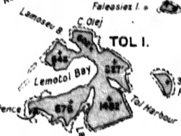
Map of Tol Island inside Truk Lagoon
Borders Tol Harbor to the east, Lemotol Bay to the west, Lamuittul Bay to the south and Lamoseau Bay to the northwest. The northwest portion is Pata Island (Paata) and the southwest is Polle Island with an arrow indicating "Coast Defense Guns" (Battery of four 15cm / 40 cal coastal defense guns) on the southwest corner. To the northeast is Faieasiez Island. To the east is Fala-Beguets Island. Credit: JICPOA Date: February 4, 1944
Map Enlargement