 |
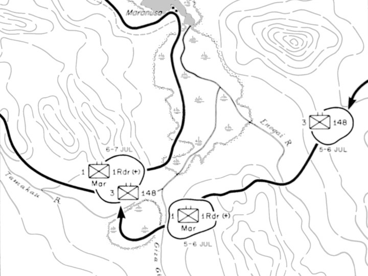
Enlargement of Map Approach To Bairoko 5-20 July 1943
The map indicates the north coast of New Georgia including the Enogai River, Enogai Inlet, Maranusa, Giza Giza River, Tamakau River. The solid black lines indicates the American axis of advance and dates.
Credit: U.S. Army Map 8 Date: July 2, 1943–July 15, 1943
Map Enlargement
High Resolution Version
Acquire This Image |
Contribute Information
Do you have photos or additional information?
Previous Page
|
|