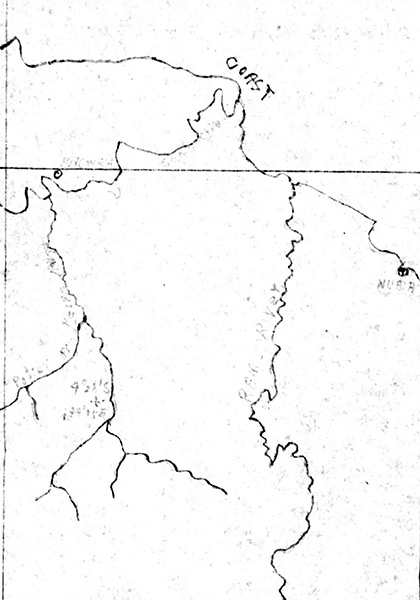
Map indicating last position of B-24J Liberator 42-73197 on New Guinea
Indicated is an "+" indicating Lat 4° 28' South, Long 144° 15' also the north coast of New Guinea inland including the mouth of the Sepik River and Annenberg. Also indicated is Nubia at Hansa Bay and the Ramu River. Credit: MACR 5807 page 3 Date: June 14, 1944
Map