Missing In Action (MIA)
Prisoners Of War (POW)
Unexploded Ordnance (UXO)
Chronology
Locations
Aircraft
Ships
Submit Info
How You Can Help
Donate
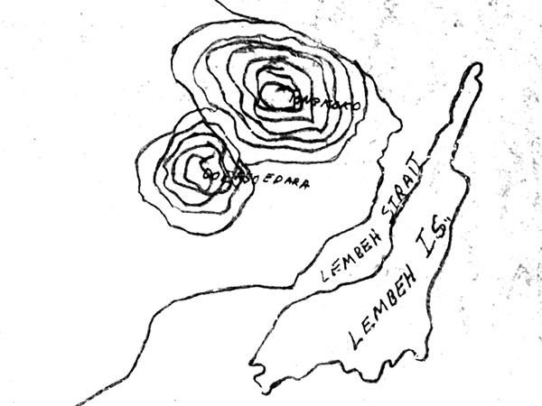
Map of northeast of
Celebes
bordering
Lembeh Strait
and
Lembeh Island
The black line indicates the northeast coast of
Celebes
. The circles indicating Mount Tongkoko and Gunung Duasaudara. Also indicated is Lembeh Strait and
Lembah Island
.
Credit: MACR 8636 page 6 Date:
September 2, 1944
Map
Enlargement
High Resolution Version
Acquire This Image
|
Contribute Information
Do you have photos or additional information?
Previous Page
Discussion Forum
Daily Updates
Reviews
Museums
Interviews & Oral Histories
Pacific Wrecks Inc.
All rights reserved.