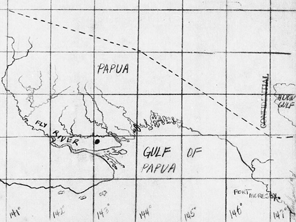
Map with black circle north of the Fly River where P-47D "Sunshine" 42-8121 pilot 1st Lt George O. Burgess The map includes the outline of the southern coast of New Guinea with annotations including the Fly River, Gulf of Papua (Papua Gulf), Port Moresby and Huon Gulf.
Credit: MACR 14287 page 5 Date: October 22, 1943
B&W
High Resolution Version
Acquire This Image |
Contribute
Information
Do you have photos or additional information?
Make A Donation | Previous Page | Pacific Wrecks |