|
|
|
|
| Missing In Action (MIA) | Prisoners Of War (POW) | Unexploded Ordnance (UXO) |
| Chronology | Locations | Aircraft | Ships | Submit Info | How You Can Help | Donate |
|
   David Mason 2004 |
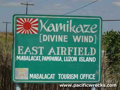
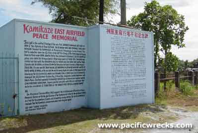
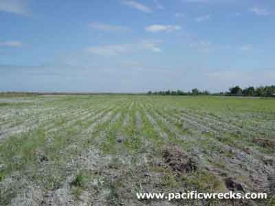
Location Lat 15° 12' 56N Long 120° 34' 41E Mabalacat is located at an elevation of 305' / 92m above sea level in Pampanga Province on Luzon in the Philippines. Today known as Mabalacat City. Border Highway 3 (MacArthur Highway). To the west is Clark Field. To the south is Dau (Dao) and Angeles. Wartime History During the Japanese occupation of the Philippines Mabalacat East Airfield and Mabalacat West Airfield were used by the Japanese as an airfield area used by both the Navy and Army. On January 25, 1945 the U.S. Army 37th Division, 145th Infantry Regiment captures Mabalacat East Airfield and reconnoiters south to Mabalacat. Mabalacat West (Kamikaze West, No 1) Japanese wartime airfield, abandoned today Mabalacat East (East, Kamikaze East, No 2) Japanese wartime airfield, abandoned today Contribute
Information Last Updated
|
Map 1944 Map Fallingrain Map Mapcarta Photo Archive |
| Discussion Forum | Daily Updates | Reviews | Museums | Interviews & Oral Histories |
|