|
|
|
|
| Missing In Action (MIA) | Prisoners Of War (POW) | Unexploded Ordnance (UXO) |
| Chronology | Locations | Aircraft | Ships | Submit Info | How You Can Help | Donate |
|
  Justin Taylan 2005 |
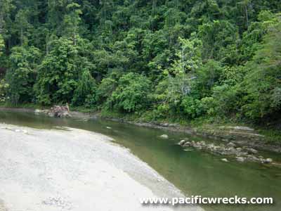
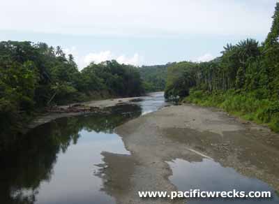
Location The Hawain River is located to the east of Banak and to the west of Boiken and Wewak crossing the west coastal road towards Boiken and Dauga and beyond. Pronounced "Hawaiian". Wartime History During December 1942, the Hawain River was occupied by the Japanese Army. After the Allied landings to the west, retreating Japanese Army troops followed the Hawain River westward towards Wewak or inland to Maprik, abandoning their heavy equipment and guns as they lightened their loads for the inland march. On May 3, 1944 by 1:00pm the Australian Army 19th Infantry Brigade advanced from the Hawain River towards Cape Pus. Japanese Weapons Until the 1970s, much of this abandoned equipment was still present and some guns were recovered by David Pennefather. It is unclear if any still remains today. Japanese Burial Areas Area villages include: Molomogu Village (along the Molomugo River, an arm of the Hawain), Singang Village. A large Japanese burial area is reported near the Kuyoko Creek near Horama and Karawai. Contribute
Information Last Updated
|
| Discussion Forum | Daily Updates | Reviews | Museums | Interviews & Oral Histories |
|