|
|
|
|
| Missing In Action (MIA) | Prisoners Of War (POW) | Unexploded Ordnance (UXO) |
| Chronology | Locations | Aircraft | Ships | Submit Info | How You Can Help | Donate |
|
  Justin Taylan 2005 |
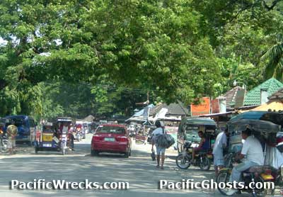
Location Lat 16° 2' 56N Long 120° 35' 43E Binalonan is located at an elevation of 150' / 45m in the east of 5th District (District V) in Pangasinan Province in Ilocos Region (Region I) in northern Luzon in the Philippines. Borders Sison to the north, Pozorrubio to the northeast, San Manuel to the east, Potpot and beyond Laoac to the west and Urdaneta to the south. Wartime History On December 24, 1941 occupied by the Japanese Army advancing from Pozorubio then continuing southward to Urdaneta. Occupied by the Japanese during their occupation of the Philippines. By January 1945, the Japanese Army had a garrison of 350 men at Binalonan supported by nine tanks and two 75mm artillery guns of the 7th Tank Regiment defend the western approaches of the Villa Verde Trail. After the January 9, 1945 U.S. Army landing at Lingayen Gulf, the 7th Tank Regiment advanced from Binalonan northward to San Manuel. Battle of Binalonan On January 17, 1945 Binalonan was attacked by the U.S. Army 25th Infantry Division "Tropic Lighting", 161st Infantry Regiment in what became known as the Battle of Binalonan. At 5:30pm, a single Japanese tank attacked the American line and was destroyed. Next, a disoriented fight broke out in the town, with five Japanese tanks firing wildly in every direction and racing around. By nightfall, all five tanks were destroyed but only part of the town was captured. On January 18, 1945 three M4 Sherman tanks from the 716th Tank Battalion allowing the 161st Infantry Regiment to capture the town by 1:00pm. In total, the Japanese lost nine tanks, two guns, five trucks, one artillery tractor and 250 men. With the capture of Binalonan, the U.S. had secured the road junction with Route 3 and the approach to the Villa Verde Trail. Contribute
Information Last Updated
|
Map January 9-17, 1945 Map Fallingrain |
| Discussion Forum | Daily Updates | Reviews | Museums | Interviews & Oral Histories |
|