|
|
|
|
| Missing In Action (MIA) | Prisoners Of War (POW) | Unexploded Ordnance (UXO) |
| Chronology | Locations | Aircraft | Ships | Submit Info | How You Can Help | Donate |
|
 Justin Taylan 2005 |
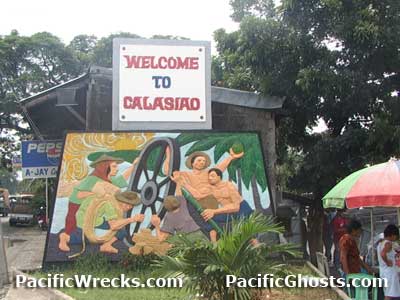
Location Lat 16° 0' 35N Long 120° 21' 25E Calasiao is located at an elevation of 26' / 7m in the north of the 3rd District (District III) of Pangasinan Province in the Ilocos Region (Region I) of northern Luzon in the Philippines. Also spelled Colasiao. Borders Dagupan and beyond Lingayen Gulf to the north, Santa Barbara to the east and Binmaley to the west. Wartime History On January 9, 1945 after the U.S. Army landings on Lingayen Gulf, XIV Corps occupied virtually unopposed Calasiao at the eastern flank of the beachhead. Afterwards, Calasiao was used as a staging area for the advance southward. In late Janaury 1945 a force of U.S. Army Rangers departs Calasiao for Guimba. Contribute
Information Last Updated
|
Map Fallingain Map Mapcarta |
| Discussion Forum | Daily Updates | Reviews | Museums | Interviews & Oral Histories |
|