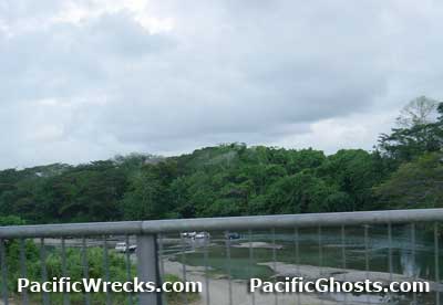
Location
The Lunga River is located on Guadalcanal and meanders roughly south to north with the mouth emptying into the Lunga Anchorage and beyond Iron Bottom Sound. To the east of the Lunga River on the north coast of Guadalcanal is Lunga Point. Further inland to the east is Bloody
Ridge (Edsons Ridge, Marine Ridge, Lunga Ridge and Raider Ridge). To the west of the Lunga River is Betikama and beyond Honiara. Prewar and during the Pacific War part of the British Solomon Islands Protectorate (BSIP). Today located in the Solomon Islands.
Wartime History
On December 2, 1942 Marine Raiders led by Col. Carlson during his "Long Trek Patrol" patrol crossed the Lunga River on a report that the summit of Mount Austen was unoccupied and got permission to explore the southernmost east-west trail.
Contribute
Information
Do you have photos or additional information to add?
Last Updated
March 20, 2022
|
