|
|
|
|
| Missing In Action (MIA) | Prisoners Of War (POW) | Unexploded Ordnance (UXO) |
| Chronology | Locations | Aircraft | Ships | Submit Info | How You Can Help | Donate |
|
 USN October 11, 1943 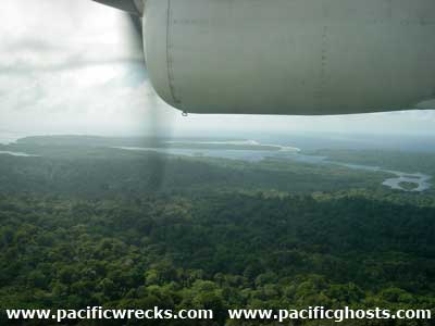 Justin Taylan 2003 |
Location Lat 7° 4' 60S Long 155° 52' 0E Poporang Island is located in the Shortland Island Group (Shortland Islands). Borders Shortland Harbor to the northeast and Tuha Channel and beyond Shortland Island to the north. Alu Island is located to the southeast. Faisi Island, Orlofe Island and Onua Island are located to the northeast. Prewar and during the Pacific War part of the Northern Solomons in the British Solomon Islands. Today located in Western Province in the Solomon Islands. Prewar In 1899, a Catholic mission was established at Nila. Wartime History On March 30, 1942 at 2:00am, Japanese forces occupied the Shortland Islands area. At Nila, Catholic priest George Lepping was taken away by the Japanese. During the Japanese occupation, Poporang Island was developed into a base are to support Shortland Harbor anchorage and Shortland Harbor Seaplane Base. During the Pacific War, Poporang was defended with bunkers, fortifications, Naval guns, anti-aircraft guns, searchlights and radar. Between March 1943 until October 1944 attacked by US bombers and fighters that neutralize the defenses. Occupied by the Japanese until the official surrender of Japan in September 1945. American missions against Poporang March 28, 1943–October 1, 1944 Nila Located on the northern coast largest settlement and Catholic mission and church. Allied Aircraft Wreck Unknown aircraft wreck, possibly Allied crashed off southern shore of Poporang. Contribute
Information Last Updated
|
Map April 11, 1943 Map Fallingrain |
| Discussion Forum | Daily Updates | Reviews | Museums | Interviews & Oral Histories |
|